It’s Sunday, and I decided to spare the legs for a bit. Also getting behind with the blog/diary/journal thingy; so, dear reader, you’re in for a double dip. Today, the site is busy with the signs and sounds of a thousand awnings being struck, and tow cars being collected from the parking place. Like the white zone in Airplane, cars are allowed on pitches for loading and unloading only. Doesn’t include us in the camper van fraternity.
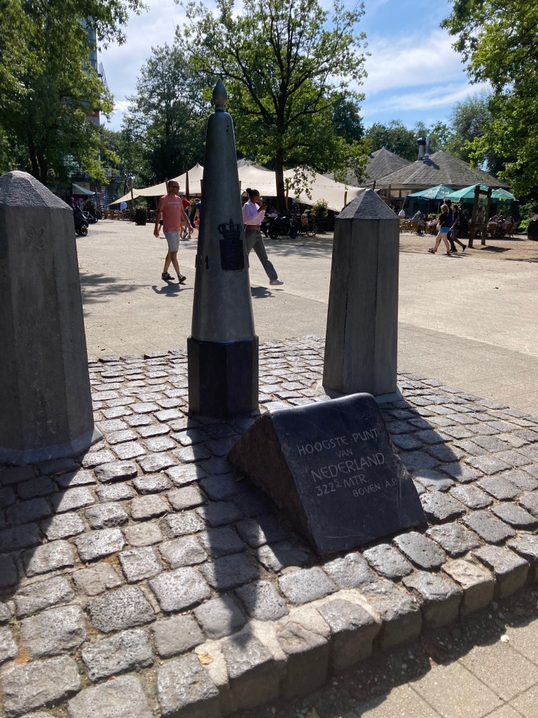
Yesterday was a marathon walk; 16,000 steps, and uphill. I can tell you the highest point in the mainland Netherlands is 322m, the Vaaleserberg. It is also, in Dutch, a drielandenpunt.
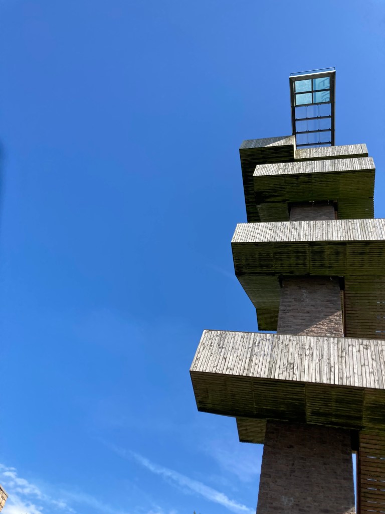
Hoeve de Gastmolen is the most southerly campsite in the Netherlands. Across from Reception building there’s a footbridge across a small stream, where children and dogs can play. I met an owner on the way back with a very soggy pup, and whose clothes were covered in mud. “There were three other dogs at the river” she commented, laconically, pointing at her T shirt. The important fact about the stream, is that it forms the boundary with Germany – political, social and linguistic. Here, it’s “Morgen” and “Goudedag”: to the man over there, 20 metres away, arranging his marrows for sale, “Guten Morgen” and “Guten Tag”. I’m as confused as Caxton the printer, when he reported: “What sholde a man in thyse dayes now wryte, egges or eyren?” Fifteen minutes takes you to Vaals, across another footbridge and back over the border; a walk across town and through the suburbs, into woodland arriving at Wilhelminatoren, a viewpoint with an observation tower and cafe. I needed that beer, and croquettes. And remembered my wallet was back at the van. Three cheers for ApplePay, and for the charming young waitress who sorted it out and got it to work.
Crossing the bridge I’d compared notes with a Dutch couple who were off walking too, using a map from reception. Leaving the cafe, we met again. I managed to take them on the wrong path, which did (eventually) lead to the Drielandenpunt, all the while dodging the groups of lycra-clad Dutch sports cyclists, practicing for King of the Mountains on the country’s only hill. The couple decided to follow their map, rather than Google maps and me. A wise choice. My route took me through mixed woodland; and eventually came to a small theme park, a bit like Lands End.
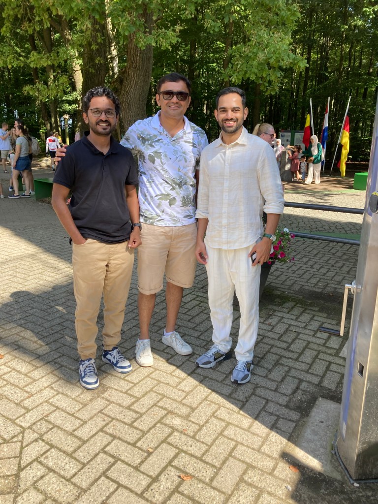
Having negotiated the carousels and gift shops, I found the commemoration stone, with the flags of the three nations. I offered to take a photo for three young men; Are you Dutch, I asked? “No, we are from India, between Goa and Kerala.” You speak a bit of English then? “Quite a lot, actually!”. They kindly took my photo too.
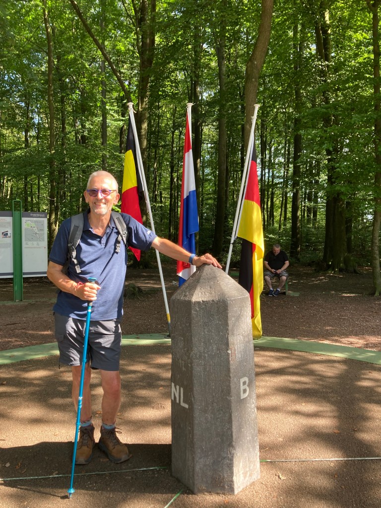
Google maps showed the route back on a woodland walk. This lead back past the cafe and viewing tower, closely tracking the border. At one point there was a set of poles, with the Dutch and German tricolours showing kids where they could straddle the divide. Back into town, and a short diversion into the Albert Heijne supermarket, for beer and blueberries. There’s always something. Back over bridge 1 into Germany, and bridge 2 to the campsite, with aching legs and a glow of achievement: my phone tells me it was a 7.2km walk. I crashed out for a while.
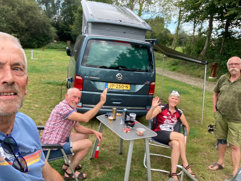
I mentioned a while back a couple who helped me set up, and with whom I shared a beer. Last night they returned the honours (standing your round seems as important in the Netherlands as back home.) Pete (Petra) and Lambert have a very nice 4WD VW California Ocean; we spent a pleasant hour or so exchanging life experiences. Lambert didn’t speak English, but seemed to understand a fair bit: Pete did a grand job translating and filling in the gaps. She’s into local history; and was interested in the revision of Napoleon’s reputation, among many other things. Like most of us of a progressive bent, she was concerned about the rise of populism and men of a dictatorial kind. I offered my theory that Brexit was partly a result of the fetishising of WWII among certain sections of the media. We compared the Dutch and British monarchies; neither came off well.
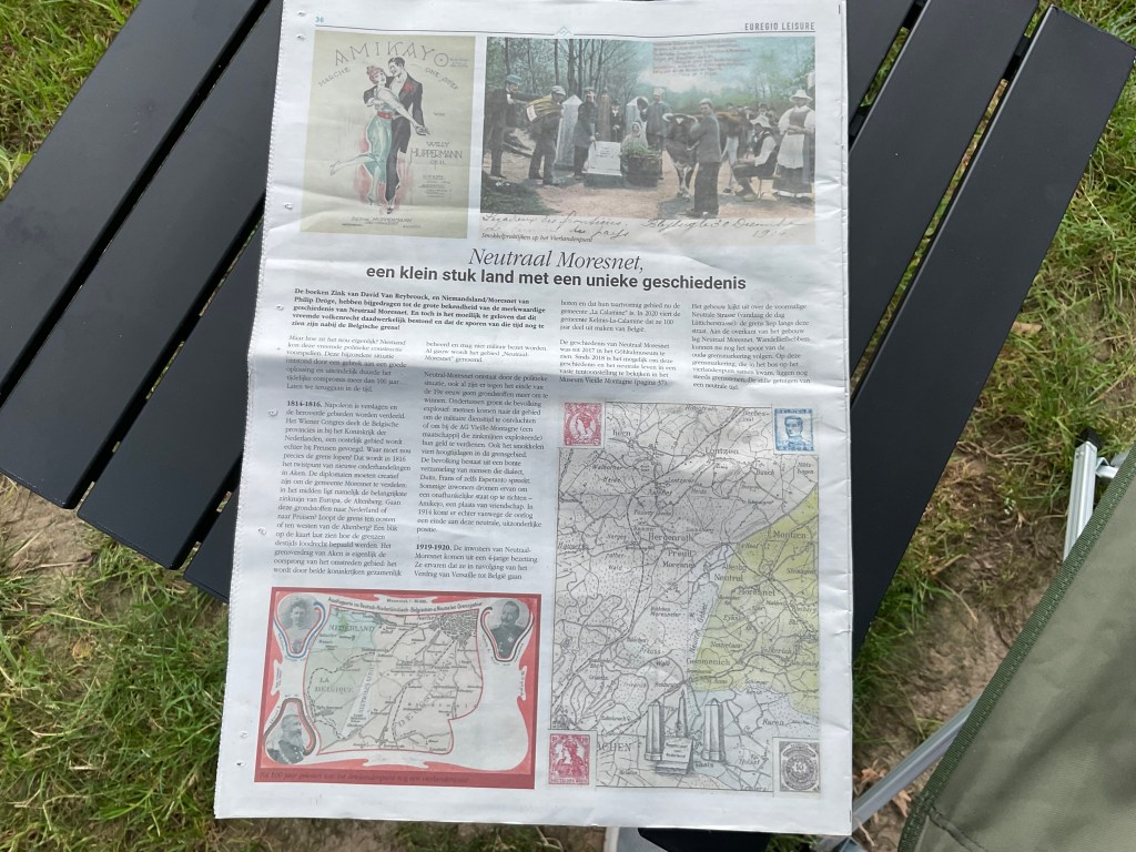
If you want to know what’s happening on a campsite, take your plates to the potwash. It was here I’d met Theo, a retired English teacher from Apfeldoorn: another history buff, who enjoys exploring the wrinkles in time. He’d told me that at one time there were four countries meeting at the Drielandenpunt, making it the Vierlandenpunt; and that from 1815-1921 there was a small, semi-independent country called Neutral Moresnet, between Belgium and Germany, or Prussia as it was then. All to do with the ownership of a Zinc mine; the current name is Kelmis, local dialect for Zinc spar; the Walloon name for the village is Calamine, referring to the same. The local population swelled from 250 to over 4000 as draft dodgers from both Belgium and Prussia moved into the area. At one point, the local leader proposed the country should adopt Esperanto as its main language; and composed a nation anthem in that language to the tune of Tannebaum. It’s all a bit Passport to PImlico. There’s even a wikipedia page to this rather unlikely tale, https://en.wikipedia.org/wiki/Neutral_Moresnet. Theo brought us a copy of the local tourist paper with an article about it, in Dutch. I think there’s a film to be made about it.
It is this joy in discovering the unexpected, the quirky, that makes exploring worthwhile. That, and the casual friendships made along the way, that the Dutch seem particularly apt at. I think maybe I learned a little from them, about how to strike up conversation, along the way. A little bit Dutch in my heart.


The border craziness continues apparently: just came across a video about the twin towns of Kerkrade/Hertogenrath, who share certain facilities, and who at various times had a border fence down the (shared) high street. Video from “rewboss” here: https://youtu.be/9xa0bP_CVSg?si=mRXXqhIzMCDRIuky
LikeLike